Log in
All resources
Create a design
2,282 Free Images of Bird's Eye View
history
historical
media needing categories as of 5 may 2021
drawing
digital library of university of wroclaw
maps in the library of congress
civitates orbis terrarum. de praecipuis totius universi urbibus. liber secundus
maps by henry wellge
bird's eye view maps of texas
henry wellge
maps of paris from bibliothèque nationale de france
bird's eye view maps of paris
siege of haarlem
dolhuys
old maps of cities in texas
maps of fort worth, texas
1886 in waco, texas
1886 maps of texas
maps in the library of congress
1861 maps of the united states
chicago and the midwest, newberry library
great chicago fire of 1871
prints of war by thomas ashburton picken
crimean war by william simpson
print room of the university of antwerp
maps of antwerp by braun & hogenberg
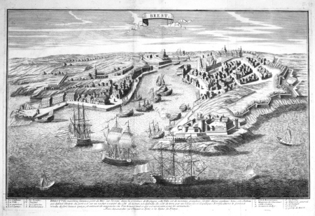
dessin du château de brest
old maps of brest harbours
civitates orbis terrarum. de praecipuis totius universi urbibus. liber secundus
maps of algiers by braun & hogenberg
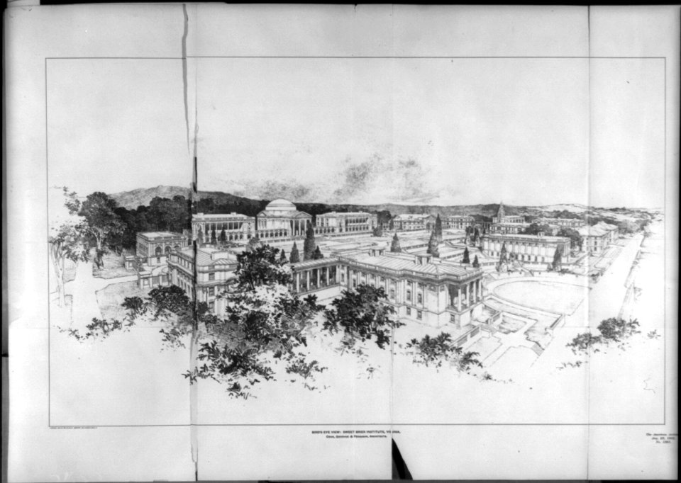
princeton campus bird's eye views
charles herbert woodbury
bird's eye view of knoxville, tennessee, 1886
maps in the library of congress
historical
history
historical
history
historical
history
historical
history
historical
history
historical
history
historical
history
mount yoshino in art
ukiyo-e
1888 maps of texas
texarkana
midway plaisance during the world's columbian exposition
59th street (chicago)
map of vienna by jacob hoefnagel
heiltumstuhl
drawings in the national gallery of art (washington, d.c.)
symbolism
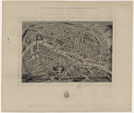
vue (en relief et à vol d'oiseau) de paris by jacques-alphonse testard
maps of paris from bibliothèque nationale de france
der weltverkehr und seine mittel, mit einer übersicht über welthandel und weltwirtschaft (1913)
rudolf loës
historical
history
historical
history
prints by giovanni battista piranesi in the statens museum for kunst
neoclassicism
new zealand
australia
details of old maps of amsterdam
jan roodenpoortstoren
the british monarchy (1743)
maps in the british museum
maps of paris from the david rumsey historical map collection
maps of paris by caspar merian
historical
history
historical
history
historical
history
architecture
sightseeing
historical images of hoher markt (vienna)
engravings of vienna
historical
history
historical
history
historical
history
historical
history
bird's eye view of knoxville, tennessee, 1886
maps in the library of congress
map of vienna by jacob hoefnagel
roter turm, vienna
dessiner pour bâtir - archives nationales
château de montjeu
paintings in museum het valkhof
hendrik feltman
old maps of cities in texas
maps of fort worth, texas
maps of fort worth, texas
maps by henry wellge
steinfels collection
baroque
travel
male
new york and brooklyn, with jersey city and hoboken water front
maps in the library of congress
historical
history
bird's-eye view prints
franz von habermann
historical
history
historical
history
historical
history
historical
history
skyline
jungle
historical
history
historical
history
historical
history
history
florida
paintings in dunham massey hall
adriaen van diest
internet archive document dayswaysinoldbos00ross 0
days and ways in old boston (1915)
civitates orbis terrarum. urbium praecipuarum totius mundi. liber quartus
maps of malmö by braun & hogenberg
civitates orbis terrarum. urbium praecipuarum totius mundi. liber quartus
maps of lund by braun & hogenberg
historical
history
historical
history
historical
history
historical
history
historical
history
historical
history
historical
history
historical
history
historical
history
historical
history
maps of paris from bibliothèque nationale de france
bird's eye view maps of paris
new york and brooklyn, with jersey city and hoboken water front
maps in the library of congress
new york and brooklyn, with jersey city and hoboken water front
maps in the library of congress
dunham massey hall in art
adriaen van diest
maps in the library of congress
market square (knoxville)
civitates orbis terrarum. de praecipuis totius universi urbibus. liber secundus
maps of neuss by braun & hogenberg
civitates orbis terrarum. de praecipuis totius universi urbibus. liber secundus
maps of kleve by braun & hogenberg
civitates orbis terrarum. de praecipuis totius universi urbibus. liber secundus
maps of wissembourg by braun & hogenberg
historic views of regensburg
andreas geyer
bird's-eye view prints
maps by gerard valck
civitates orbis terrarum. de praecipuis totius universi urbibus. liber secundus
maps of emmerich by braun & hogenberg
civitates orbis terrarum. de praecipuis totius universi urbibus. liber secundus
maps of pozzuoli by braun & hogenberg
civitates orbis terrarum. de praecipuis totius universi urbibus. liber secundus
maps of kleve by braun & hogenberg
hortorum viridariorumque elegantes & multiplicis formae..., antwerpen 1583 by hans vredemann de vries
theodoor galle
checkflicr
red
malerischer plan von frankfurt am main und seiner nächsten umgebung
19th-century maps of frankfurt am main
historical
history
historical
history
historical
history
historical
history
historical
history
historical
history
historical
history
historical
history
1301 - 1400 of 2,282
Next page
/ 23


![Vue à vol d’oiseau du château et du parc de Montjeu - Archives nationales, Jacques Lemercier, [vers 1620]](https://cdn.creazilla.com/illustrations/10001099064/vue-vol-d-oiseau-du-ch-teau-et-du-parc-de-montjeu-archives-nationales-jacques-lemercier-vers-1620-md.jpg)